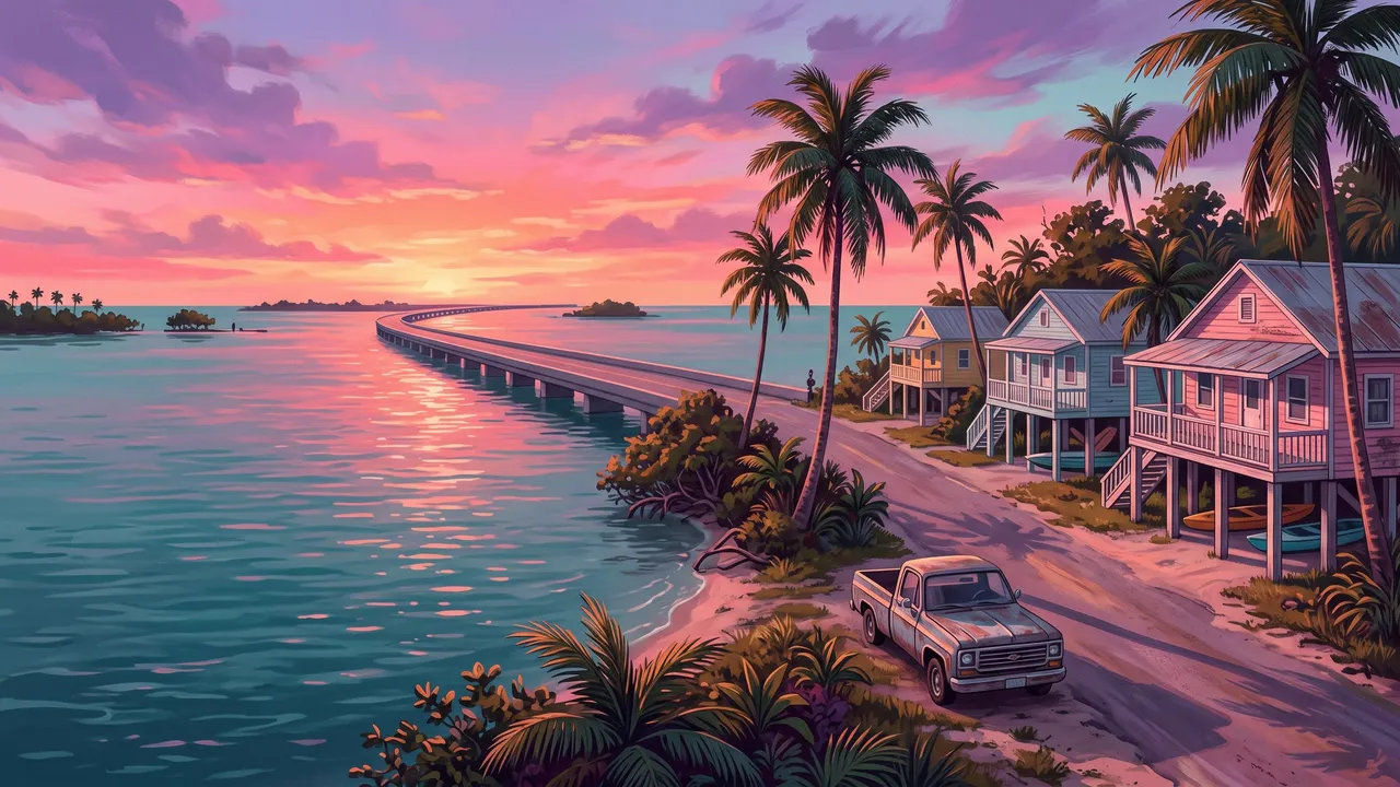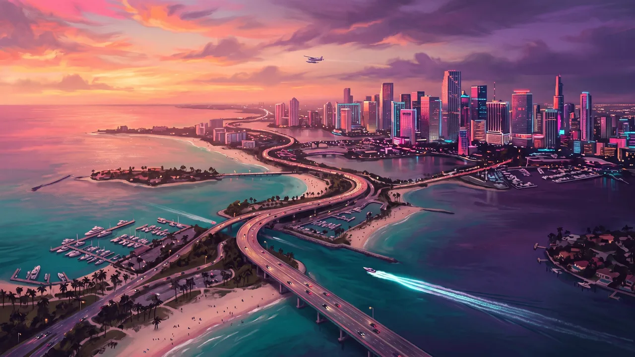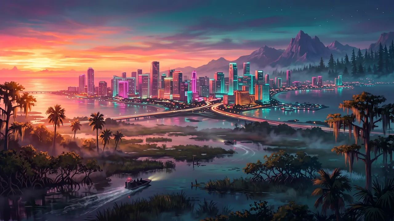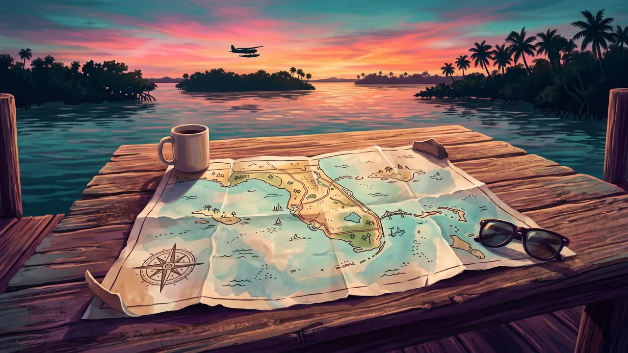
The GTA 6 map is the state of Leonida, Rockstar's fictional Florida, with Vice City on its south-east coast and the island chain of the Leonida Keys hanging off the southern tip. Rockstar names six places to explore (Vice City, the Leonida Keys, Grassrivers, Port Gellhorn, Ambrosia and Mount Kalaga) and its official map splits the state into five counties. Rockstar has never given an area in square miles. What it has said is that Leonida is roughly twice the size of GTA 5's map.
This guide covers what each region is, what the size claims actually say (and which ones are measurements versus marketing), how the grid on Rockstar's printable map works, and the quickest ways to unfog and cross it. If you just want to find a place, open our interactive GTA 6 map.
The GTA 6 map at a glance
Rockstar posted a print-ready poster of the full map on its Grand Theft Auto VI downloads page on launch day. The positions below are the grid squares from that poster, as read by MyGTA and used on our own map.
| Region | County | Grid square(s) | What it is |
|---|---|---|---|
| Vice City | Vice-Dale | G7 (Vice Beach G8) | The big city, Rockstar's take on Miami |
| Leonida Keys | Mariana | K6 to L3 | The island chain where the story starts |
| Grassrivers | Mariana | I4 to I5 | Swamp and mangroves, the game's Everglades |
| Port Gellhorn | Kelly | E3 | A faded resort town on the Gulf coast |
| Ambrosia | Kelly or Leonard (sources differ) | E5 to E6 | Sugar-refinery town beside Lake Leonida |
| Mount Kalaga | Lummox | C5 | National park against the northern border |
Two things in that table are worth flagging straight away. The counties come from the official and in-game maps, while the six regions are how Rockstar's marketing site presents the state; the two systems overlap but don't line up neatly. And Ambrosia's county is disputed, which we come back to below.
Leonida's regions, one by one
For a step-by-step tour with every region pinned, see our guide to the regions of Leonida. Here is the short version, south to north.
Leonida Keys
This is where you start. SVG's map guide describes the Keys as small next to the rest of the state, with Key Lento as the main town: one highway strip of shops, bars and houses with water on both sides. Smaller keys such as Gambit Bay, Maroon Key and Abismo Key are mostly scenery.
At the far south-west end sits Mile Zero Air Station, the military base. SVG says walking in earns an instant four-star wanted level, and that it is one of the few places to get a jet. Treat it as a mid-game stunt, not a first stop.
Grassrivers and the rest of Mariana County
North of the Keys, the mainland starts with swamp. SVG puts Grassrivers, Watson Bay and Hamlet in Mariana County, with airboats, wildlife and a gang presence in Hamlet. Capri, an upmarket town on the west coast, is where the county lines get murky (see the disagreements section).
Vice City and Vice-Dale County
Vice City fills most of Vice-Dale County. SVG lists districts including Little Cuba, Downtown, Crosstown and Bayside, plus wealthy islands in the bay and the Vice Beach barrier island with Ocean Beach and Washington Beach. Insider Gaming's location list adds names such as the Sahara Arena, the Tisha-Wocka Flea Market and the Vice City Oceanarium. This is where most of the game's activity is concentrated.
Leonard County
Moving north up the east coast you reach the suburbs. SVG calls Leonard County the suburban counterpart to Vice City, built around Waning Sands and Belville, with Lake Leonida and farmland nearby.
Kelly County: Port Gellhorn and Ambrosia
Kelly County covers the north-west. Port Gellhorn is the backwoods resort town on the Gulf, with Draper Island offshore, and SVG names Manifest Canyon and Emerald Springs inland. SVG rates Kelly County as arguably the best region in the game for side content; that is one outlet's opinion, but it matches how much of the early mid-game happens there.
Lummox County and Mount Kalaga
The top of the map is the least dense. SVG describes Mount Kalaga as a huge mountain overlooking the south, surrounded by forest, with Millport, Bonanza, Grayson and Lake Tallaloko nearby. Expect hunting, off-road routes and long drives rather than crowds.
How big is the GTA 6 map?
This is the most searched question about the map, and the most muddled. Here is what each figure actually is.
| Claim | Who said it | What kind of number |
|---|---|---|
| About twice the size of GTA 5's map | Rockstar, quoted by GameSpot and PC Gamer | A ratio from the developer |
| Three times Red Dead Redemption 2's map | Rockstar, per GameSpot | A ratio from the developer |
| Landmass nearly GTA 4 + GTA 5 + RDR2 combined | Rockstar to Edge magazine | A ratio from the developer |
| 175 km² total, 16 km by 10.9 km, about 35% water | PowerPyx's measurement of the in-game map | One guide's measurement |
| 10 min 53 s to drive end to end | Kotaku's timed run | One outlet's test |
GameSpot's report on the Edge interview carries all three of Rockstar's comparisons, and PC Gamer's write-up adds co-studio head Aaron Garbut's point that the game has "an order of magnitude more interiors". Note that none of these is an area.
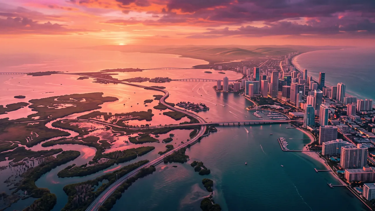
The only post-launch area figure we found comes from PowerPyx's full world map: 175 km² (about 67.5 square miles), roughly 35% water and 65% land. That includes the sea inside the map's frame, so comparing it with land-only figures for older games will mislead you. It is also a single source.
Kotaku's crossing test is the most useful real-world yardstick. Driving a sedan flat out on the highways took 10 minutes 53 seconds, a prop plane took 5 minutes 51 seconds, and walking took 3 hours 21 minutes. Kotaku compares the drive with roughly eight minutes for GTA 5, and adds that after 100 hours it still had unvisited patches on its map.
My take: "twice GTA 5" is the right mental model, and the drive time tells you the extra space is in density, interiors and wilderness rather than sheer distance. Ignore any square-mile figure that doesn't say who measured it and whether water is included.
How the official Rockstar map grid works
Rockstar's poster has a reference grid around its edge, like an old road atlas. MyGTA describes it as letters down the side and numbers along the top, and lists the poster's print size as 19.25 × 26.33 inches. A square is named letter first, then number: Key Lento is K6, Vice City's downtown is G7, Vice Beach is G8 and Mount Kalaga is C5.
Rows run north to south, so letters later in the alphabet are further south, and numbers grow from west to east. That's why the Keys sit in the K and L rows at the bottom, and why Port Gellhorn on the west coast is E3 while Waning Sands on the east coast is E7.
Every pin on our interactive map is placed by square, from that grid. The 25 places we currently show are only the ones with a label we could read and a second source to back it. The coastline on our map is our own simplified drawing, not Rockstar's artwork, so use the squares rather than the shapes when you cross-check with the poster.
Why bother with the poster at all? PC Gamer points out that you can't zoom the in-game map out far enough to see the whole state, and small roads only appear when you zoom in. The printable version is the easiest way to see everything at once, especially while your own map is still fogged.
Is the whole map open from the start?
Short answer: you can probably go almost anywhere early, but the game gives you little reason to.
According to GamesRadar+, you can see the full outline of Leonida once you finish the first mission of Chapter 1, but it is blacked out apart from vague borders. SVG's piece on the map goes further: once the opening tutorial ends you are free to explore, and Vice City is roughly 5 to 10 minutes' drive north over the bridge.
The catch, per SVG, is that the first 30% or so of the story happens in the Keys, much of the side content elsewhere is locked behind story progress, and Lucia can't leave the Keys until around 35% completion. Engadget describes it differently, saying new regions in different counties unlock as the game progresses. We could not reconcile those two accounts from the sources alone, so treat early long-distance trips as sightseeing.
What I would do: finish the cheap, nearby work around Key Lento first (our first hours guide lists it), then take one early flight to clear fog, because that pays off for the rest of the game.
How to unfog the GTA 6 map fast
Both PowerPyx's unfog guide and Beebom recommend the same method: fly a crop-duster.
Why a plane
PowerPyx explains that the fog doesn't lift in a circle around you. The map is split into many small segments, and entering a segment clears that whole patch. A slow, steady plane that can cross water and swamp is far quicker than following roads.
Where to get one early
PowerPyx lists three airstrips with planes: one near Key Lento, a backup in Mariana County, and a third in the middle of the map in Kelly County, which is the handy refuelling stop once the south is done. Beebom names the Bottcher Duster and points to a small airstrip off Boundary Road in Mariana County. PowerPyx suggests calling Paradise Taxi to get to the first two.
Rules for the flight
- Clear one region at a time, then land and grab a fresh plane when fuel turns yellow; PowerPyx says they respawn.
- Avoid military jets. Beebom says their trackers summon enemy fighters and they burn fuel faster.
- Check the pause map between passes for small segments you missed.
Clearing all of it unlocks The Goodtime State trophy, according to PowerPyx. Beebom says the same.
Getting around the map
There's no instant warp from the map screen. Engadget's fast travel guide lays out the options:
| Method | When you get it | Cost, per Engadget |
|---|---|---|
| Paradise Taxi (phone contacts) | From the start | Fare, plus $5 to hurry or $100 to skip the ride |
| RydeMe app | After the Chapter 1 mission Buck Me | Same skip option; paid from your BuckMe account |
| Buses and trains | Stops shown under the map's Vehicles tab | Much cheaper, but only between stops |
Engadget says a taxi from Mariana County to Lummox County costs over $750, so early on the bus and train are the sensible choice. Our getting around Leonida guide covers character switching, which is often the cheapest way back.
For quick navigation, GTABase notes you can hold Down on the D-pad to see nearby tasks and press the right stick on an in-world marker to set it as your destination without opening the map. The map's index (press Right on the map screen) lists everything you've discovered.
Where sources disagree
- Size. Rockstar gives ratios, not areas. PowerPyx's 175 km² includes water; land-only fan estimates are smaller. Don't compare one with the other.
- Ambrosia's county. PC Gamer's location guide lists Ambrosia and Lake Leonida under Leonard County, while SVG places Ambrosia in Kelly County. It sits close to the line either way.
- Capri's county. SVG puts Capri in Mariana County; Insider Gaming lists it under Kelly County.
- When the map opens. SVG says you can explore freely early; Engadget says regions unlock with story progress.
Sources and how we checked
We researched this on November 22, 2026, three days after launch, reading Rockstar's downloads page and the PC Gamer, GameSpot, Kotaku, SVG, Engadget, Insider Gaming, PowerPyx, Beebom, GTABase, GamesRadar+ and MyGTA pages linked above. Single-source numbers are labelled as such. Guides published this early change quickly, and we have not verified any of this in-game ourselves yet. For more of what's hidden around the state, see our GTA 6 collectibles and secrets roundup.
Frequently asked questions
How big is the GTA 6 map?
Rockstar has not published an area. It has said Leonida is roughly twice the size of GTA 5's map, and told Edge that its landmass is nearly as large as the GTA 4, GTA 5 and Red Dead Redemption 2 maps combined. PowerPyx measured the in-game map at about 175 km², roughly 35% of it water; that figure is a single guide's measurement.
Is the whole GTA 6 map open from the start?
Sources describe it differently. SVG says you are free to drive anywhere once the opening tutorial ends, while Engadget says new regions open up as the story progresses. Everyone agrees the map starts under black fog, and that most of the early story and side content keeps you in the Leonida Keys.
What are the regions on the GTA 6 map?
Rockstar names six places: Vice City, the Leonida Keys, Grassrivers, Port Gellhorn, Ambrosia and Mount Kalaga. The in-game and official maps also divide the state into five counties: Vice-Dale, Leonard, Kelly, Lummox and Mariana.
Is there an official GTA 6 map?
Yes. Rockstar posted a print-ready Leonida map poster on its Grand Theft Auto VI downloads page on launch day, November 19, 2026. PC Gamer notes it is easier to read than the in-game map, which you cannot zoom out far enough to see whole.
How do I remove the fog on the GTA 6 map?
Fly over it. PowerPyx and Beebom both recommend a crop-duster plane, which you can reach in Chapter 1; the fog clears segment by segment as you pass over it. Clearing all of it unlocks The Goodtime State trophy, according to PowerPyx.
How long does it take to drive across the GTA 6 map?
Kotaku drove a mid-range sedan from the southernmost road to the northernmost dirt road in 10 minutes 53 seconds, ignoring speed limits. It flew the length in a prop plane in 5 minutes 51 seconds and walked it in just over three hours 21 minutes.
Where does GTA 6 start on the map?
In Key Lento, in the Leonida Keys at the southern end of the map. On Rockstar's official map grid that is square K6.
Sources
- Grand Theft Auto VI downloads: Leonida Map & Cover Art Poster · Rockstar Games
- GTA 6 Map: The Official Leonida Map and Regions · MyGTA
- Rockstar has finally posted GTA 6's full map online · PC Gamer
- All GTA 6 map locations confirmed and charted so far · PC Gamer
- GTA 6's Landmass Is Nearly As Big As GTA 4, GTA 5, And Red Dead Redemption 2 Combined · GameSpot
- GTA 6's map is almost as big as Rockstar's last 3 games combined · PC Gamer
- GTA 6 Full World Map Revealed · PowerPyx
- How Long Does It Take To Run Across GTA 6's Map? · Kotaku
- GTA 6 Map Guide: Key Locations And Secrets Across Leonida · SVG
- GTA 6's Map Has A Strange Limitation You Won't Notice Right Away · SVG
- Complete GTA 6 Map: Every Location and POI · Insider Gaming
- Here's the full GTA 6 map of Leonida that we've unlocked so far · GamesRadar+
- This GTA 6 fast travel trick comes at a price · Engadget
- GTA 6 How to Unfog the Map Fast (Best Plane) · PowerPyx
- How to Remove Map Fog in GTA 6 · Beebom
- GTA 6 Map: Full Interactive Map of Leonida & Collectibles · GTABase